

Boom Island or Bust
This week's training plan outlined my first sixteen mile long run which meant I could take the girls for their run to Silver Lake Beach and have enough training miles left to make it to the southern portion of the Mississippi River. Most people might look at a sixteen mile run and think its crazy, but I saw the opportunity. It has been a long winter and I was ready for a nice long run on a beautiful Saturday spring morning.
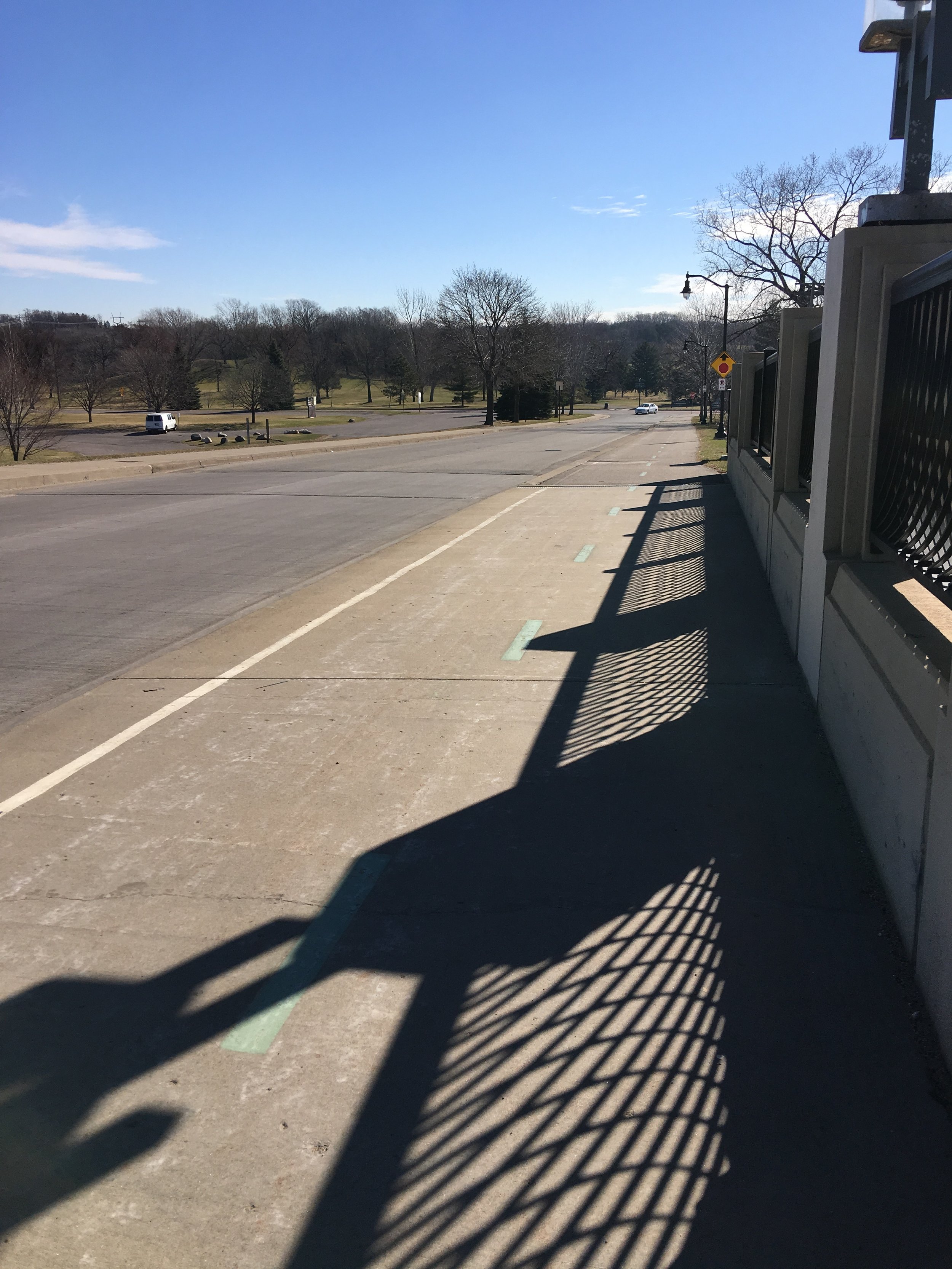
Columbia Park from the St. Anthony Bridge
After the first three and half mile loop I dropped my running buddies off at the house and started out on a familiar route through to Columbia Park. Instead of winding around the golf course, I hopped off at St. Anthony and ran up and over the train bridge and down University Avenue. I always love taking in the view of the downtown skyline in the distance with the tracks in the foreground. At 27th Street I started west into a residential section of Northeast Minneapolis (or Nordeast to locals) and for a change of scenery, turned south down Grant Avenue. Like most neighborhoods in Minneapolis, the houses were close to the street creating an urban wall. Most of the front yards had four foot chain link fences, providing a clear boundary, but still allowing visibility to the homes.

Downtown skyline from the bridge
My goal with this run was to make it to Boom Island, once a key operations point for the lumber industry that took over the area at the turn of the century. It's name is derived from the booms used to separate the logs as they flowed down the Mississippi River. Each company branded their logs so when they reached Boom Island the workers knew which logs to collect. Today the island is a picturesque park, hosting events throughout the summer and providing a quiet place to sit and watch the kayaks float by. I stopped for a few pictures of the lighthouse and downtown skyline and continued on.

View from Boom Island
I crossed over an old railroad bridge now used solely for pedestrians, to get onto Hennepin Island. Gorgeous late 19th century homes, a hotel, and a school are located on this small island. It also hosts the historic Grainbelt sign. I skirted around the north end of the island and passed over another old railroad bridge, this one still allowing vehicular traffic to pass.
At this point I found all the other Saturday morning runners along the trail on Main Street SE. On one side I could hear the clank of glasses coming from the brunch goers at the local cafes and the other side the gush of water coming over the historic St. Anthony Falls dam. The area was alive with eager Minnesotans ready to enjoy the first real spring day of the season.

The St. Anthony Falls of the Mississippi River
At 5th Street I turned to head back north and finish my run. I passed numerous bikers in the Marcy Homes neighborhood heading out for their adventures. I even encountered a few more runners as I crossed Broadway into the familiar residential district of Northeast. These last few miles I was struck by the function of front porches. Some of the streets were filled with original open porches, others were almost all enclosed, and a few were a healthy mix of both. When I lived in Rochester, our street was mostly all open porches. I loved to sit outside on the porch swing and watch storms pass through or talk with my neighbors a few feet away on their own porch. It creates a sense of community that is lost when we retreat to our backyards because we have made sitting in the front yard unappealing. In my current house the previous owners enclosed the porch so we built a nice deck in the backyard. Consequently I never really talk to my neighbors, just the occasionally hello as I run past them each Saturday.

Open porches in Northeast
It is interesting to think of all the years of planning that made my run so enjoyable. It began with the residential home builders creating compact urban neighborhoods, the Minneapolis Park Board who created Boom Island Park, the city officials that turned rail road bridges into pedestrian bridges to make my journey smooth, and the preservationists that kept the old buildings around on Main Street to run along. Maybe someday I will live closer to these areas, at least then I can quit running so far to see them.

The beautiful historic Grainbelt Brewery building


